To order publications, email the publication number and title to info@flseagrant.org. Be sure to include your mailing address and phone number.
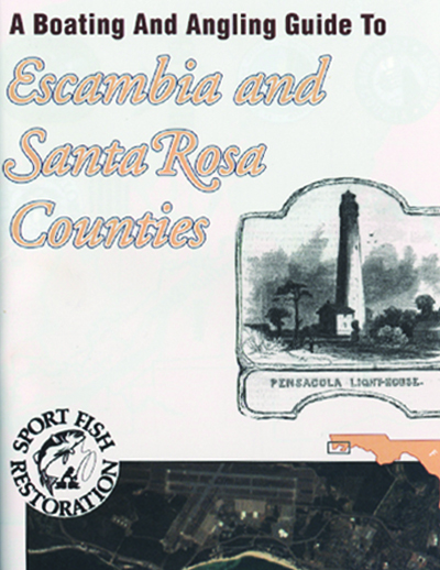
A Boating and Angling Guide to Escambia and Santa Rosa Counties
A map with fishing piers, offshore artificial reefs, canoe/kayak launches, boat ramps and clean marinas.
SGEB-62
May 2018
This updated guide features a revised map with fishing piers, offshore artificial reefs, canoe/kayak launches, boat ramps, clean marinas and “Be Seagrass Safe” tips. Email info@flseagrant.org for a free copy!
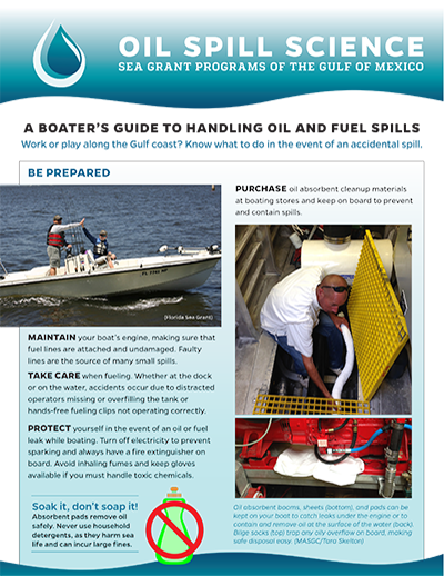
A Boater’s Guide to Handling Fuel and Oil Spills
Work or play along the Gulf coast? Know what to do in the event of an accidental spill.
Work or play along the Gulf coast? Know what to do in the event of an accidental spill.
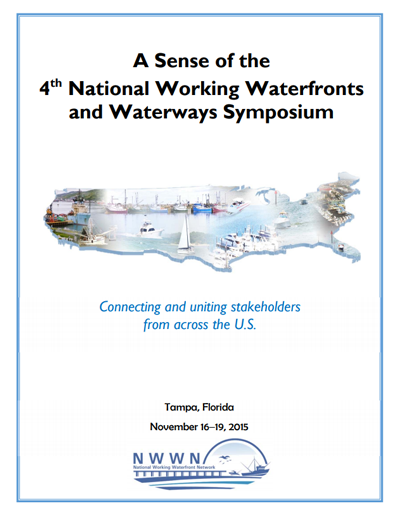
A Sense of the 4th National Working Waterfronts and Waterways Symposium
TP-227
March 2017
This is a summary and guide to the 2015 National Working Waterfronts and Waterways Symposium held in Tampa, Florida. Professionals from a broad spectrum of water‐dependent industries and coastal communities shared experiences and planned for the future. The 2015 event was the 4th symposium hosted by the NWWN in the 6 years since its formation. Eight key themes emerged, primarily from the panel presentations, field trips, and roundtable discussions. Details on sessions and presenters are provided in the body of the report.
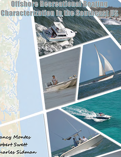
Offshore Recreational Boating Characterization in the Southeast U.S.
TP-226
December 2016
As demand for the use of Florida’s waterways increases, so does the need for enhanced public access, maintenance of waterway infrastructure, public safety, and environmental protection. There is, however, little information available to resource managers and planners that describes the actual use patterns and preferences of the offshore boating community. The study covered in this report characterizes the temporal and spatial patterns of recreational boating offshore and at inlets in Nassau, Duval, St. Johns, Flagler, and Volusia counties in Florida and Camden and Glynn counties in Georgia.
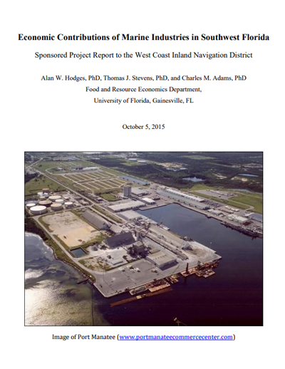
Economic Contributions of Marine Industries in Southwest Florida
TP-219
October 2015
The results of an economic evaluation of marine-related activities for nine counties in southwest Florida are presented in this report, which was sponsored by the West Coast Inland Navigation District (WCIND). These counties include: Manatee, Sarasota, Charlotte, and Lee Counties (that are members of the WCIND), and adjacent coastal counties Pinellas and Hillsborough (to the north) that are also part of the federal Gulf Intra-Coastal Waterway, and, the inland counties of Hendry and Glades, which are connected through the Waterway to Lake Okeechobee. Some data for Collier County was included in this analysis since it is also adjacent to the WCIND from the south, but is not affiliated with the District.
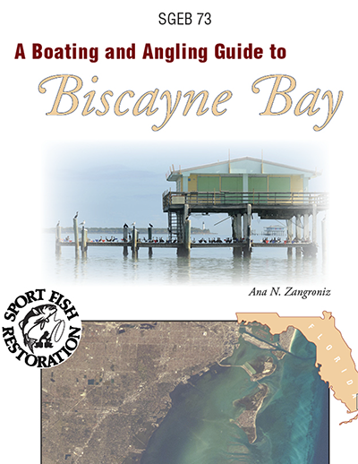
A Boating and Angling Guide to Biscayne Bay
SGEB-73
November 2015
This publication shows the coastal waters of Miami-Dade from Dumfoundling Bay to Old Rhodes Key/Key Largo. The maps show the areas of Dumfoundling Bay; North Miami Beach; Oleta River; Bakers Haulover Inlet; North Miami; JFK, Julia Tuttle, Venetian and MacArthur Causeways; Biscayne Bay; Miami; Miami Beach; Port of Miami; Government and Bear Cuts; Virginia Key; Key Biscayne; Coral Gables Waterway; Matheson Hammock; Safety Valve; Elliot Key; and Card Sound. The maps also Biscayne National Park, Oleta River State Park, Bill Baggs Cape Florida State Park,and Biscayne Bay Aquatic Preserve.
Boating, Waterways and the Rights of Navigation in Florida
TP-218
November 2015
This is now the fourth edition of an analysis of the federal, state, and local government law associated with the practice of navigating on the waters of the state of Florida (formerly titled Anchoring Away: Government Regulation and the Rights of Navigation in Florida). When the first edition was released in 1999, it focused largely on anchoring, often considered part and parcel of the right of navigation. The second and third editions continued with this focus. For this edition, the substantive scope has been expanded to broadly address the attributes of waterborne navigation in Florida, including anchoring.
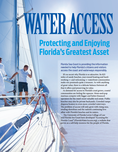
Florida Trend Report: Water Access
February 2015
This report is part of a two-year campaign, Florida’s Changing Seas, published in Florida Trend. This report discusses what Florida Sea Grant is doing to protect and help citizens continue to enjoy Florida’s greatest asset.
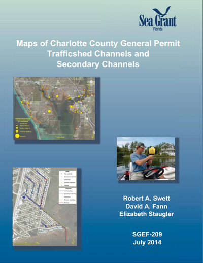
Maps of Charlotte County General Permit Trafficshed Channels and Secondary Channels
SGEF-209
July 2014
Swett, R.; D.A. Fann; B. Staugler
This publication is a collection of maps that depict channels included in the Charlotte County General Permit. Each map shows either channel segments within a general permit trafficshed or segments in a general permit secondary channel system.
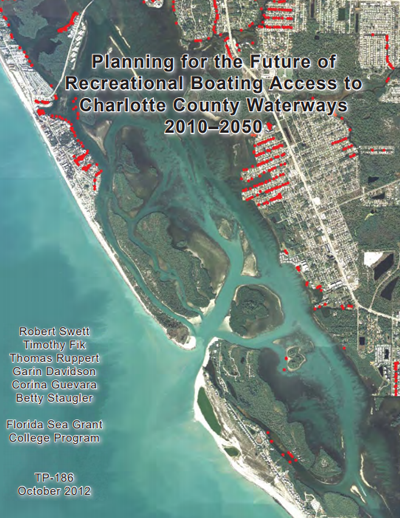
Planning for the Future of Recreational Boating Access to Charlotte County Waterways 2010-2050
TP-186
October 2012
Swett, R.; T. Fik; T. Ruppert; G. Davidson; C. Guevara and B. Staugler
This study provides Charlotte County with a planning instrument that specifies the type, quantity, and location of public shore access and boating facilities needed to meet anticipated demand through 2050, while minimizing environmental impacts on sensitive marine habitat.
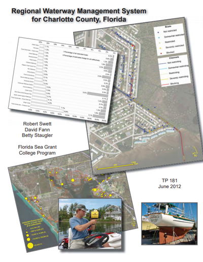
Regional Waterway Management System for Charlotte County, Fla.
TP-181
June 2012
Swett, R., D. Fann and B. Staugler
Charlotte County faces a daunting planning dilemma: balancing growth in boating with protection of the environment. This report presents a GIS-based approach to making decisions about permitting and waterway maintenance, based on carefully mapped channel depths, a census of actual boat populations, and the spatial extent of natural resources.
From Stem to Stern II Program Book
TP-188
May 2012
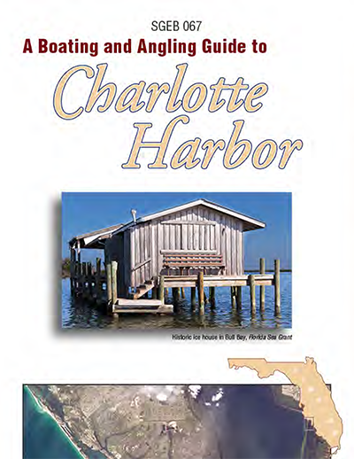
Boating and Angling Guide to Charlotte Harbor
SGEB-67
2012
View Interactive Map
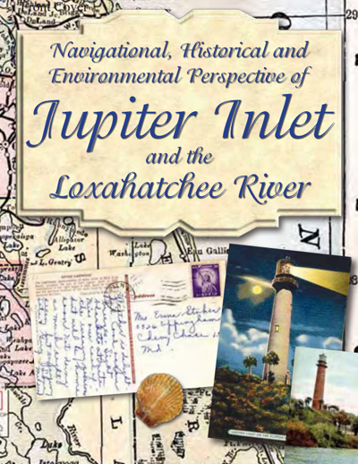
Navigational, Historical and Environmental Perspective of Jupiter Inlet and the Loxahatchee River
SGEB-57, Revision 1
January 2011
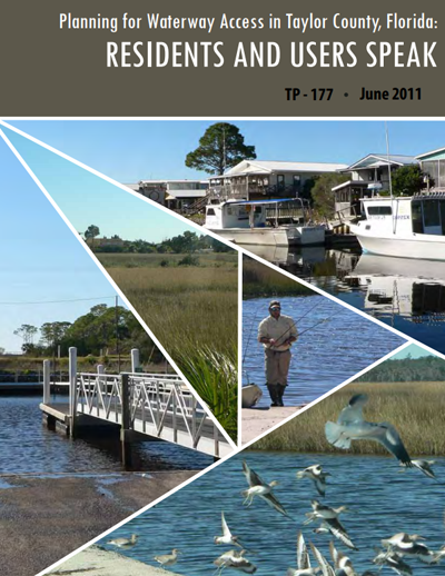
Planning for Waterway Access in Taylor County, Fla.: Residents and Users Speak
TP-177
2011
Sidman, C.; T. Fik; G. Davidson; A. Hodges; R. Swett; F. Vose
Florida Sea Grant’s boating and waterways planning team and Taylor County Cooperative Extension discovered how valuable boat ramps can be. Study results led to Taylor County receiving at least $700,000 in funding to build or improve access facilities.
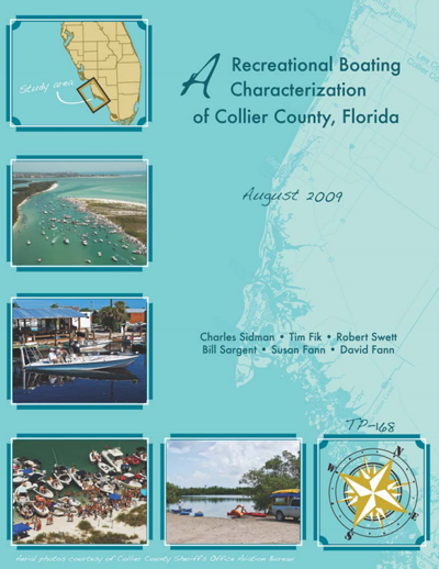
A Recreational Boating Characterization of Collier County
TP-168
August 2009
Sidman, C.; T. Fik; R. Swett; B. Sargent; S. Fann; D. Fann
Maps of Lee County Noticed General Permit Trafficshed Channels and Secondary Channels
SGEF-173
October 2008
Antonini, G.; R. Swett and D. Fann
An Assessment of Florida Boaters and Their Awareness of the Clean Vessel Act and Clean Marina Program
TP-151
December 2005
Swett, R.; S. Fann; J. DeLaney
A Recreational Boating Characterization of Bay County
TP-164
September 2008
Sidman, C.; T. Fik; R. Swett; B. Sargent; J. Fletcher; S. Fann; D. Fann; A. Coffin
Navigational, Historical and Environmental Perspective of Charlotte County Waterways
SGEB-63
September 2008
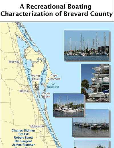
A Recreational Boating Characterization of Brevard County
TP-160
September 2007
Sidman, C.; T. Fik; R. Swett; B. Sargent; J. Fletcher; S. Fann; D. Fann; A. Coffin
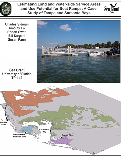
Estimating Land and Water-side Service Areas and Use Potential for Boat Ramps: A Case Study of Tampa and Sarasota Bays
TP-142
September 2005
Sidman, C.; T. Fik; R. Swett; B. Sargent; S. Fann
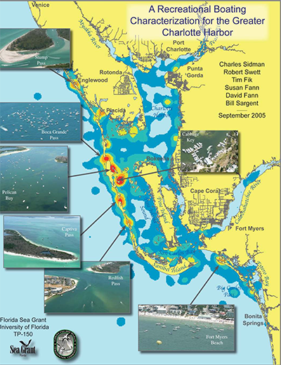
A Recreational Boating Characterization for the Greater Charlotte Harbor
TP-150
September 2005
Sidman, C.; R. Swett; T. Fik; S. Fann; D. Fann; B. Sargent
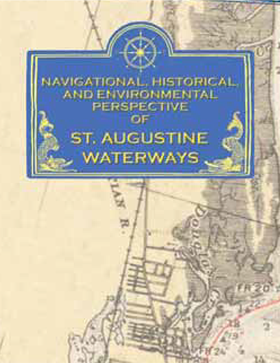
Navigational, Historical and Environmental Perspective of St. Augustine Waterways
SGEB-59
April 2005
The Regional Waterway Management System: A Tool for Balancing Coastal Resource Use and Protection
SGEF-161
February 2005
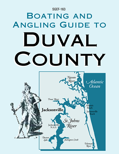
Boating and Angling Guide to Duval County
SGEF-163
2005
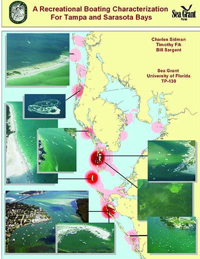
A Recreational Boating Characterization for Tampa and Sarasota Bays
TP-130
August 2004
Sidman, C.; T. Fik and B. Sargent
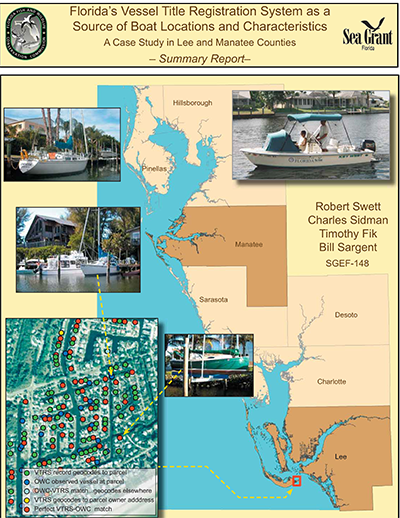
Florida’s Vessel Title Registration System as a Source of Boat Locations and Characteristics: A Case Study in Lee and Manatee Counties
SGEF-148, Summary Report
TP-138, Full Report
July 2004
Swett, R.; C. Sidman; T. Fik and B. Sargent
This summary report is based on TP-138. Research was undertaken to determine if Florida’s Vessel Title Registration System (VTRS) is an accurate and reliable information source for waterway management and planning applications.
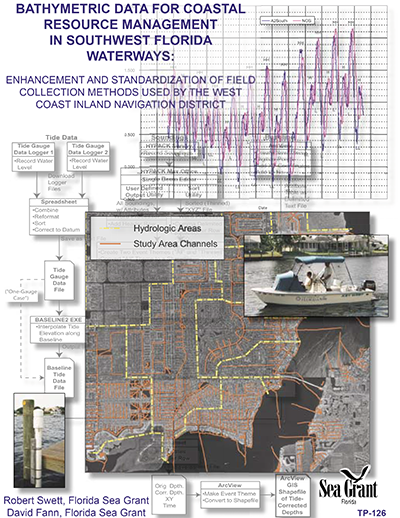
Bathymetric Data for Coastal Resource Management in Southwest Florida Waterways: Enhancement and Standardization of Field Collection Methods Used by the West Coast Inland Navigation District
TP-126
2004
Swett, R. and D. Fann
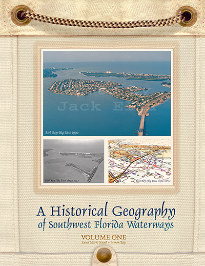
A Historical Geography of Southwest Florida Waterways, Vol. 1: Anna Maria Sound and Lemon Bay
SGEB-47
November 2003
Antonini, G.; D. Fann and P. Roat

Panic Preventer File: Generic Model for Marinas
SGEB-45
August 2002
Jackson, D.
Marina managers must have a contingency plan in-hand before minor or major disasters occur. The “Generic Panic File” is a model that can be adapted to your need. You must make a commitment to prepare for emergency and “hurry-up” situations by following the four-step process outlined.

Regional Waterway Management System for Manatee County: Bishop Harbor, Tidal Braden River and Lower Reaches of the Upper Manatee River
TD-3, Phase 1
TD-4, Phase 2
TD-5, Phase 3
TD-6
August 2002
Swett, R.; D. Fann and G. Antonini
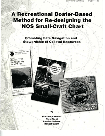
Regional Waterway Management System for Lee County
SGEF-139
December 2000
Antonini, G.; N. West; C. Sidman and R. Swett
A Historical Geography of Southwest Florida Waterways, Vol. 2: Placida Harbor to Marco Island
SGEB-56
2002
Antonini, G.; D. Fann and P. Roat
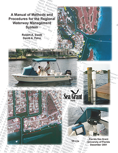
A Manual of Methods and Procedures for the Regional Waterway Management System
TP-124
December 2001
Swett, R. and D. Fann